


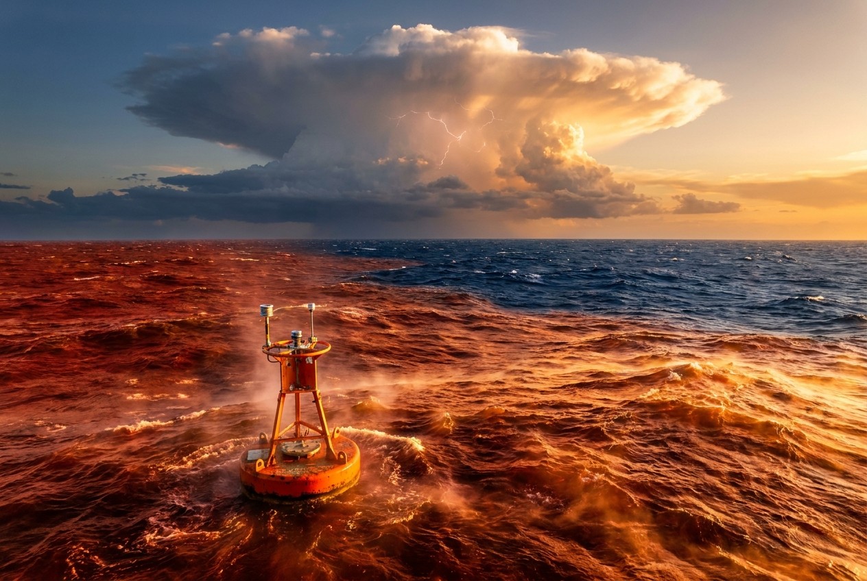
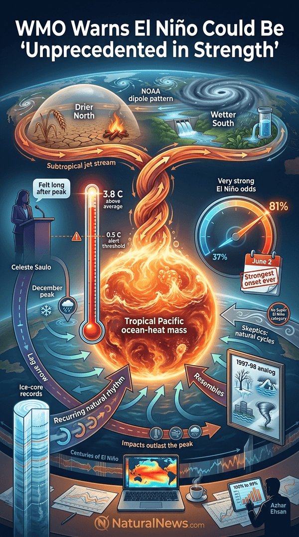
WMO Secretary-General Celeste Saulo said at a press conference that the effects are expected to "be felt long after" the event peaks at the end of 2026. The agency's update follows its June 2 declaration of El Nino onset, which the WMO recorded as the strongest El Nino ever measured for its time of year [1].
Agencies Report Strengthening Event, High Probability of Persistence
Columbia University climate scientist Azhar Ehsan told a September media briefing that the probability of El Nino lasting until spring was "100% to 99%," saying, "I wrote near-certain but it's 100% [1]."
The WMO's most recent Global Seasonal Climate Update indicated El Nino is on track to peak in December, with sea-surface temperatures expected to "increase to record levels" between now and then, according to a press release [1].
Forecasters placed an 81% chance of a very strong El Nino, up from 37% in May, with Pacific temperatures possibly reaching 3 to 4 C above average at the event's peak [2]. The scientific literature on seasonal forecasting emphasizes that effective communication is one of the key ingredients for the success of using seasonal climate forecast information in planning and decision-making processes [3].
Seasonal Outlooks Point to Divergent Regional Effects
Brian James, Nexstar chief meteorologist, previously said the event is expected to have a "pretty substantial impact" on weather over the next several months [1]. Forecasts indicate northern states will be drier and warmer than normal, while southern states will be cooler and wetter, a pattern NOAA's winter outlook reflects, favoring a wetter South and a warmer North [1][4].
Daniel Swain of the California Institute for Water Resources said on social media, as reported by Nexstar's KTLA, "Based on what I am seeing now, I am officially concerned." Swain added that "the warning lights are flashing [1]."
KTLA meteorologist Henry DiCarlo said earlier this week that higher-than-average seasonal rain could help address drought conditions California has been battling. Saulo warned that regions worldwide could face severe drought, flooding, and increased heat [1].
Skeptics have noted that there is no formal scientific category called a "Super El Nino," and that strong El Nino events have occurred periodically for thousands of years as natural ocean-atmosphere cycles [6].
Historical Comparison Drawn to 1997-98 Event
At a September media briefing, Ehsan explained that this year's atmospheric evolution resembles that of 1997, when one of the strongest El Ninos on record formed [1]. An April 1998 National Climatic Data Center report described that winter as marked by broken records and "unusual extremes," according to climate researchers [1].
The report stated it was the second-warmest and seventh-wettest U.S. winter since 1895, with ice storms in the Northeast, flooding in the Southeast and California, and deadly tornadoes in Florida [1].
Sea surface temperatures in the tropical Pacific's Nino 3.4 region reached 3.07 C above the long-term average in September, tying the record set during the 2015-2016 El Nino event, according to data reported by The New York Post and cited by NaturalNews.com [7]. The anomaly was measured months before the event's expected peak.
Historical research has documented El Nino-Southern Oscillation events in proxy records including tropical ice cores, underscoring that the pattern has recurred across centuries [8].
Outlook and Preparedness Statements
Aid agencies and regional blocs have issued their own warnings: the Southern African Development Community said a severe El Nino could deepen the humanitarian crisis across Southern Africa by worsening drought, hunger, water shortages, and disease outbreaks [9].
Forecasters said the event is expected to peak near the end of 2026, with monitoring continuing through the winter and into spring. For households and farmers, seasonal forecast information is most useful when it reaches end users in time to inform planting, water and storage decisions, a point emphasized in agrometeorological research [10].
Preparedness advice from forecasters centers on monitoring local outlooks, reviewing water and food stores, and following regional meteorological guidance as the event develops.
References
- 'Behemoth' El Nino could be 'off the charts,' forecasters warn. https://thehill.com/policy/energy-environment/6165658-behemoth-el-nino-could-be-off-the-charts-forecasters-warn
- 'Behemoth' El Nino could be 'off the charts,' forecasters warn... https://www.bigcountryhomepage.com/news/national-news/behemoth-el-nino-could-be-off-the-charts-forecasters-warn/
- Challenges for integrating seasonal climate forecasts in user applications by Caio AS Coelho. Current Opinion in Environmental Sustainability 2010, 2:317–325
- NOAA Winter Outlook: Record El Nino Points To Wetter South, Warmer North. https://www.zerohedge.com/weather/noaa-winter-outlook-record-el-nino-points-wetter-south-warmer-north
- Meteorologist Joe Bastardi: Climate exaggerators won’t go away – 'Weaponized climate as a tool for control.' https://www.climatedepot.com/2026/06/04/meteorologist-joe-bastardi-climate-exaggerators-wont-go-away-weaponized-climate-as-a-tool-for-control/?utm_source=rss&utm_medium=rss&utm_campaign=meteorologist-joe-bastardi-climate-exaggerators-wont-go-away-weaponized-climate-as-a-tool-for-control
- Wrong, Deutsche Welle, There Is No Such Thing as a "Super El Nino," Nor is it on Team Climate. https://wattsupwiththat.com/2026/08/25/wrong-deutsche-welle-there-is-no-such-thing-as-a-super-el-nino-nor-is-it-on-team-climate/
- Super El Nino Ties Record Months Before Peak; Scientists Warn of Severe Global Impacts - NaturalNews.com, September 23, 2026.
- Natural climate variability on decade-to-century time scales by Unknown
- Southern African bloc raises alarm over severe El Nino. https://www.rt.com/africa/644162-southern-african-bloc-warns-worsening-el-nino-threat/?utm_source=rss&utm_medium=rss&utm_campaign=RSS
- Applied Agrometeorology by Kees Stigter
Explainer Infographic





Please contact us for more information.


